Moldova's largest river is the Dniester. Even the ancient Greeks and Romans knew it and called it the Tiras. In the Middle Ages, a trade route ran along it from Lviv to Crimea and Turkey. Majestic fortresses built on the river's banks still stand in Khotyn, Soroca, Bender, and Bilhorod-Dnistrovskyi.
The Dniester rises in the Carpathians at an altitude of 759 meters above sea level from springs emerging on the northwestern slope of Mount Rozluch. It flows 700 km through Ukraine and about 660 km through Moldova. Its annual flow averages 10 cubic kilometers; this is five times less than that of the Dnieper.
The Dniester, like all rivers originating in the mountains, is a fickle river. Heavy snowfalls in the Carpathians can cause the Dniester to overflow in its lower reaches in the spring—usually as early as late March. Summer flooding from heavy rains also occurs—a characteristic feature of the entire southwest of our country.
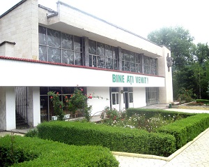
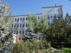
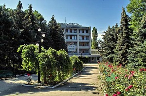
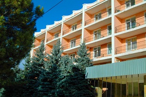
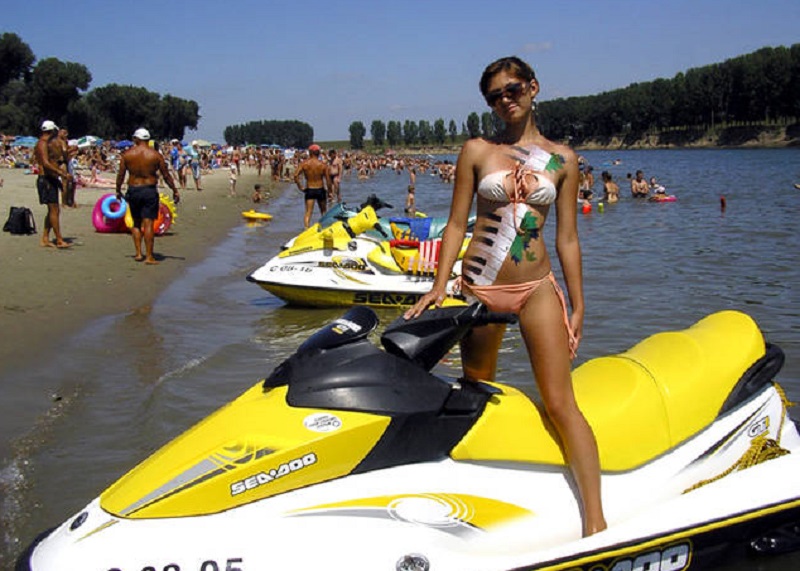
Holidays on the Dniester - Recreation Centers
The lowest water levels are in September and during the winter months. The river usually freezes in December, but only for three months: in early March, and sometimes even in late February, it breaks up; the ice drift lasts 1-2 weeks. The ice thickness averages 15-25 cm; once every 5-6 years, it doesn't freeze at all, but during cold winters, powerful ice jams form.
For centuries, frequent and unexpected floods caused significant damage to the economy and population, preventing the full use of floodplain lands. Then, in 1954, a hydroelectric power station was built near the small town of Dubossary. Its dam doesn't regulate the flow of the Dniester, but it does hold back and store its waters. Upstream of the dam, a large reservoir with depths of 14-18 meters was formed. It is now the largest body of water in the republic: its area at average low-water level is 5,400 hectares. The reservoir's high, rocky, and in many places forested, shores are an excellent location for recreation, fishing, and tourism.
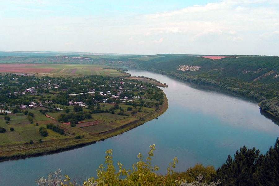
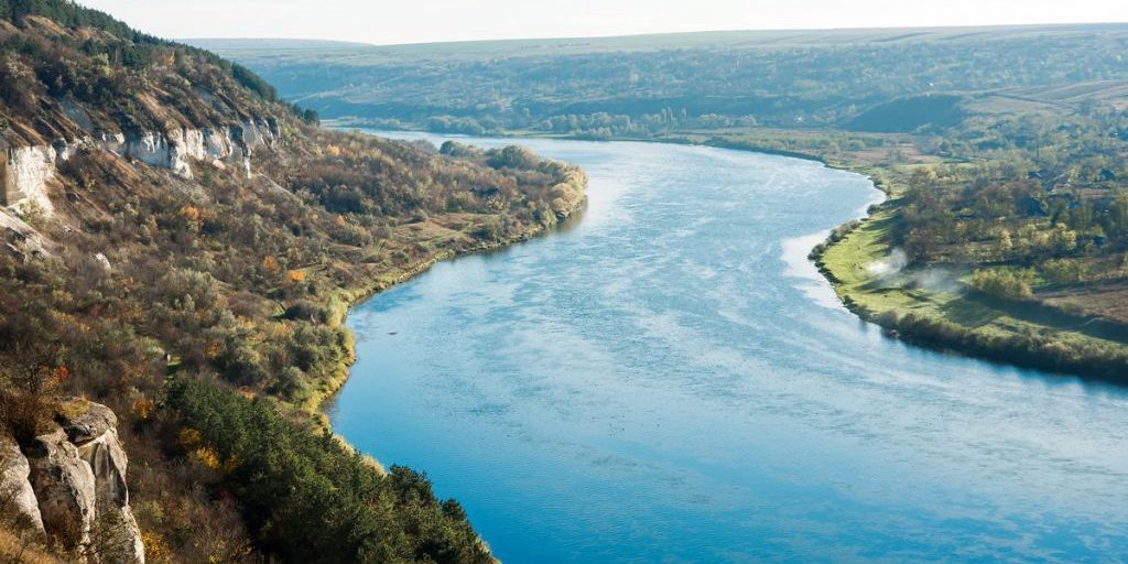
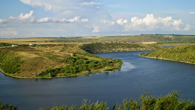
Before the village of Vykhvatintsy, famous for the excavation of one of the oldest prehistoric sites, the Dniester flows through a narrow valley, often with almost vertical limestone banks, often covered in forest. Further south, the valley gradually widens, and near the cities of Tiraspol and Bender, it reaches 10-20 km in width. The slopes of the river here are negligible, and the river forms bizarre, very steep bends that converge closely in many places.
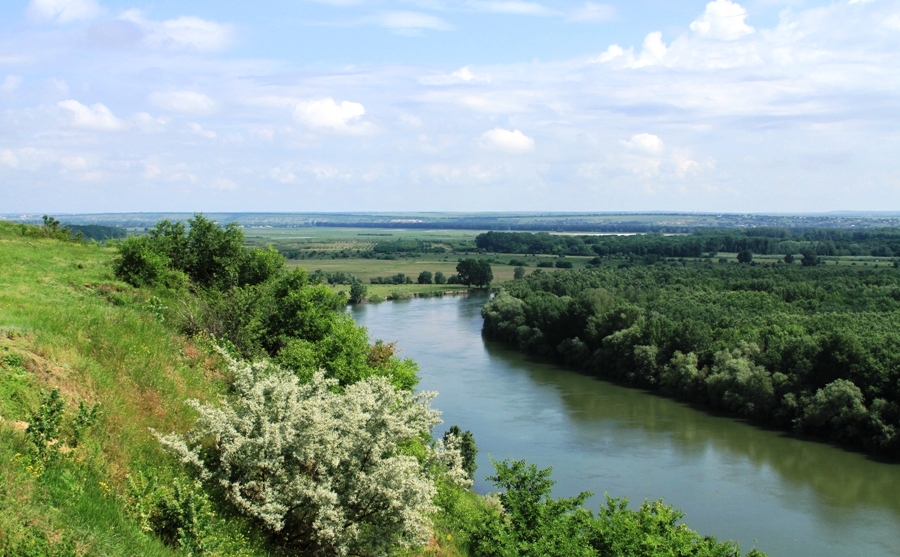
The river's banks—steep and rocky in its middle reaches, gentle and open near its lower reaches—delight the eye with their constantly changing landscape. The Dniester's meanders are especially beautiful in the spring, in April, when blooming apple orchards stretch along the banks like a continuous white ribbon.
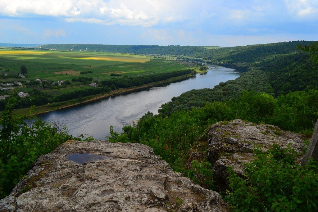
The Dniester water is of good quality: odorless, pleasant to the taste, and slightly mineralized. Throughout its length, the river's water is suitable for drinking, irrigation, and industrial use.
The Dniester is navigable within Moldova, making river travel fascinating. You can see geological outcrops, ancient fortresses, and gardens. In the lower reaches of the Dniester, the large freshwater Kuchurgan Estuary connects with it, and the Moldavskaya State District Power Plant (GRES) is built on its banks.
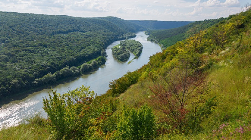
At the northernmost point of Moldova, the village of Naslavcea, Ocnița marks the end of the large Dniester Reservoir, on which the Dniester Hydroelectric Power Station-2 was built. A second large reservoir, Dubasari, stretches from Camenca to Dubasari; a hydroelectric power station was also built here. The Dubasari Reservoir, the largest in Moldova, was formed with the construction of the Dubasari Hydroelectric Power Station dam near the town of Dubasari in 1951-55. The total length of the reservoir is 128 km – from Camenca to Dubasari. The average width of the reservoir is 528 m, the average depth is 7.2 m, and the greatest depth is 19 m. The reservoir's volume in its early years was 0.485 cubic km, but in recent decades, due to siltation, it has almost halved and, according to the latest data, is 0.266 cubic km. Three cities are located on the shores of the reservoir: Rybnitsa, Rezina, and Dubasari. On the coast of the Goian Bay, which is a branch of the reservoir, is the Yagorlyk Nature Reserve with unique flora and fauna.
On the left bank of the Dniester, near the village of Choburchiu in the Slobozia district, a branch called the Turunchuk River branches off from the Dniester River. It flows back into the Dniester River near the Ukrainian town of Belyaevo in the Odessa region. The Turunchuk River is approximately 60 km long and about 30 meters wide, increasing to 50-60 meters only when it changes direction, at bends. The average depth of the Turunchuk River is 6 meters.
After leaving the Stefan Voda region, the Dniester continues its journey through the Odessa region of Ukraine, where it flows into the large Dniester estuary, on the banks of which the old Akkerman Fortress (Cetatea Albă) is located.
The Dniester is a river that flows through Eastern Europe, straddling Moldova and Ukraine. Translated from the ancient Iranian language, "Dniester" means "border river."
The river has a length of 1,352 kilometers and a basin area of 72 thousand square kilometers.
It begins in the Carpathians at an altitude of nine hundred and fifty meters and flows into the Dniester Estuary, which connects with the Black Sea. Therefore, the upper reaches of the Dniester have a very rapid current. Locals often call it a mountain river.
Numerous birds nest in the river delta, and rare plant species grow here. The lower reaches of the river are even listed as a Ramsar site for the protection of wetlands.
The Moldovan and Ukrainian cities of Mogilev-Podolsky, Khotyn, Yampol, Zalishchyky, and Kamenka are located on the Dniester. The river forms the border between these two countries.
The Dniester is considered a navigable river. Its waters are used not only for transporting valuable cargo and passengers, but also for organizing excursions.
Book now!
If you want to book right now, simply fill out the CONTACT FORM and send it to us. We will contact you or help you contact the tourist attraction of your choice.
ANY MORE QUESTIONS?
If you have any more questions or your own opinion, you can share it by writing to us at