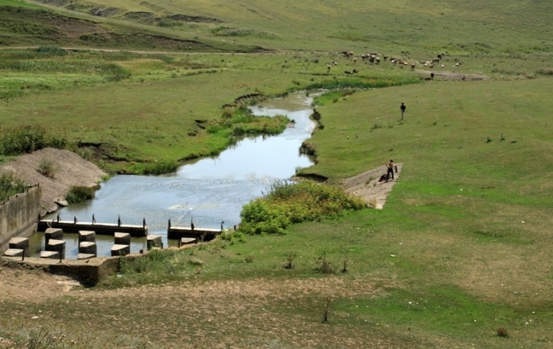
The Lopatnic River originates in the far north of Moldova, flowing through the regional center of Briceni and a number of villages of the Briceni district in a southwesterly direction, being a left tributary of the Prut, like most rivers in the north of our country.
Our journey began in the village of Corjeuți, a large, beautiful, and prosperous village, or rather, on its outskirts. Even here, we were stunned by the picturesque landscape. Along the right bank of the river lies the imposing Ciglae Rock, serving as the village's gateway. We saw a similar tortoiseshell rock in the Fetești Gorge in Edinet District. Only Ciglae is even more imposing, rising 80-90 meters above the valley. This rock is riddled with natural caves and has become the subject of numerous legends over the centuries.
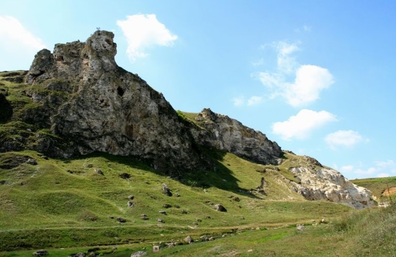
Our route then led us along the left bank of the river, and finally along the right bank, past the Borta Ciuntului Gorge. Although the river itself is no more than 7-8 meters wide and rarely reaches even a meter in depth, its valley is very wide and picturesque. Almost all of it has been developed by the residents of the village of Corjeuți, and further upstream, the village of Carakușenii Vechi. Nevertheless, natural vegetation, including grasses, has been preserved, and near the gorges cut by the Lopatnik River, there is also forest. But the river valley is especially impressive from the top of the Borta Ciuntului Gorge toward the village of Corjeuți. You'll see it in our photographs.
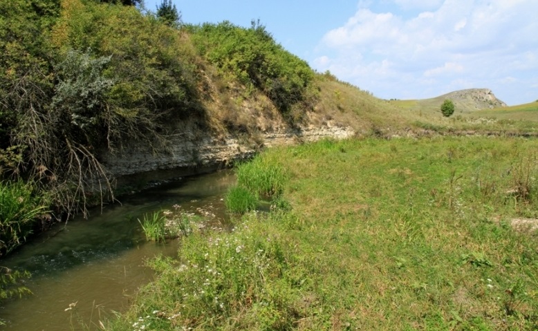
To cross the aforementioned gorge and continue along the river, we had to take a forest road around the gorge and reach the bottom of the gorge at its end. Here, we forded the river to the right bank and continued upstream. In total, along the route from Corjeuți to Caracușeni, we counted four gorges, of which only the Corjeuți and Borta Ciuntului Gorges are reliably named. The names of the others are Târla boilor and Stânca tătarul, but we're unable to determine which of them these names belong to, and inquiries from local residents were of no help.
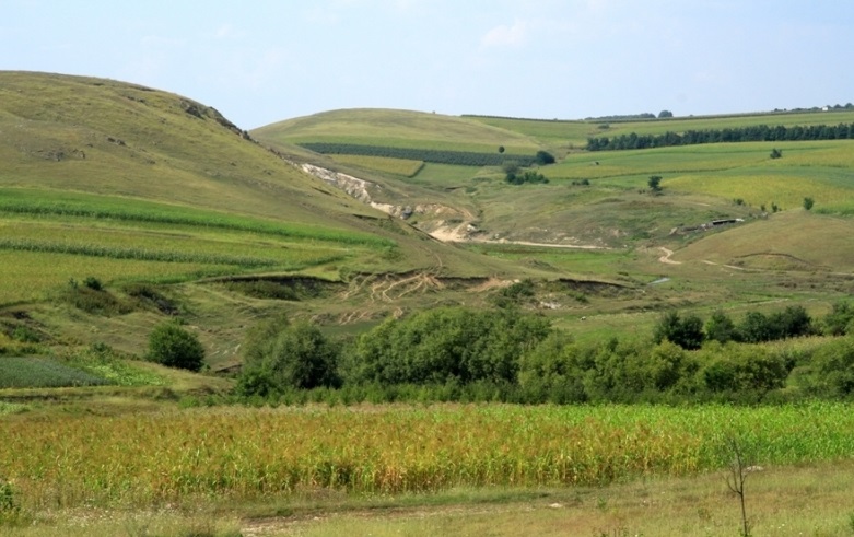
The Lopatnik River is very winding and capricious throughout its length. Closer to the village of Karakuşeni Več, it forms a small reservoir surrounded by hills, which you'll also see in the photos. Here, on its banks, we made a short rest stop. Then we began searching for the road to Karakuşeni, as it disappeared along the river. We had to navigate a labyrinth of fields and copses, using the sun as our guide, and it proved successful, as we reached the village.
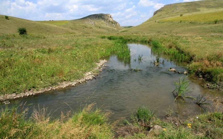
And here we saw the last gorge on our route, on the outskirts of the village, also formed by the Lopatnic River. It should be noted that the village itself is located on the peaks and slopes of low Toltra cliffs. It is also a large, beautiful, and wealthy village, like most villages in the Briceni or Edinet districts and in northern Moldova in general. You will see several photos of the village. By this time, our strength was already waning, our souls overflowing with impressions, so, having passed through the village, we headed straight for home, although part of our souls remained here, in this magical land. And we will definitely return here again.
To give you a better idea of the river and valley, we've made a short video. Enjoy your trip.
Book now!
If you want to book right now, simply fill out the CONTACT FORM and send it to us. We will contact you or help you contact the tourist attraction of your choice.
ANY MORE QUESTIONS?
If you have any more questions or your own opinion, you can share it by writing to us at